
Observations all along the line - Kimball & the Southern Panhandle First
Observations all along the line - Kimball & the Southern Panhandle First
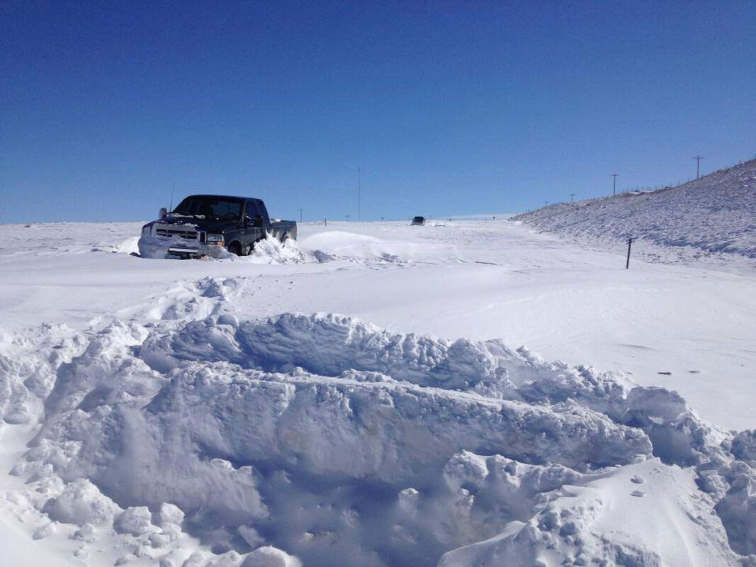
A road worker, who was assisting stranded vehicles, snapped this photo off a roadway in Wyoming after the storm hit.
Near the middle of last week, residents in the Nebraska Panhandle prepared for expected snowfalls of at least six inches, with many residents expecting closer to a foot, in wake of the approaching Winter Storm Atlas.
However, the biggest threat to local residents, especially those on the roadways, proved to be high winds that gusted throughout much of the day Friday, blowing the limited snow and creating low visibility conditions.
Snowfall totals skyrocketed across northern Wyoming and parts of South Dakota, with drifts reaching five feet high in some areas.
“There was a lot of water vapor present on the east side of the system that got pulled around as the storm developed,” said Dave Barber, a National Weather Service meteorologist in Rapid City, South Dakota. “It slowed down and did so in the right spot for western South Dakota to get clobbered.”
The Rapid City area received some 21 1/2 inches of snow, setting records for both a 24-hour period in October, as well as the entire month.
Throughout the Black Hills, reports of 20-plus inches of snow were common, but the local area avoided most of the major snowfall.
Kimball received a reported two inches, with Sidney receiving a mere half inch that was made worse by high winds.
Just north of Cheyenne, Wyoming, seven inches was reported, as well as in Harrisburg. Further north, in Chadron, ten inches were reported.
No deaths were attributed to Winter Storm Atlas last weekend, according to officials.